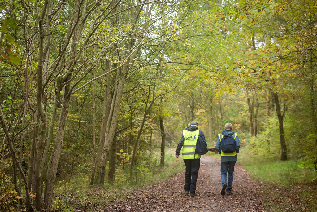
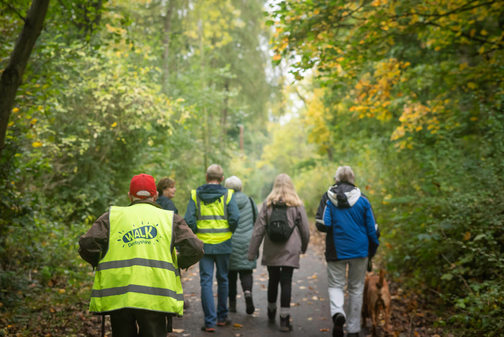
About
The Amber Valley Routeways is a series of circular walks and rides along public footpaths and bridleways throughout the Amber Valley. A self-guided leaflet accompanies each route giving directions and interesting snippets of information along the way. They can be downloaded from the list below, along with other local interest walks.
Take part
Alfreton to South Wingfield (3)
90% footpaths, 10% country Roads, undulating countryside
4 miles (6.5km)
Download Alfreton to Southwingfield routeway leaflet
Belper - Blackbrook (14)
Hilly countryside with steep climbs
7 miles (11 km)
Download Belper - Blackbrook routeway leaflet
Belper to Kilburn (11)
Hilly countryside with several steep climbs
7.2 miles (11.6 km)
Download Belper to Kilburn routeway leaflet
Crich (7)
Hilly countryside with several steep climbs
7.5 miles (12 km)
Download Crich routeway leaflet
Denby (21)
Undulating walk across open country
2.5 miles (4.8 km)
Download Denby routeway leaflet
Duffield (10)
Undulating countryside with several steep climbs
8 miles (12.8 km)
Download Duffield routeway leaflet
Heage & Lower Hartshay (5)
Undulating Countryside
Level along the canal
5 miles (8 km)
Download Heage & Lower Hartshay routeway leaflet
Heanor (6)
Undulating countryside, level along the canal towpath
7 miles (11.2km)
Download Heanor routeway leaflet
Holbrook (20)
Undulating countryside with steep climbs
4.5 miles (7.25 km)
Download Holbrook routeway leaflet
Horsley to Horsley Woodhouse (2)
80% Footpaths
20% Country Roads
Undulating Countryside
5 miles (8 km)
Download Horsley to Horsley Woodhouse routeway leaflet
Kirk Langley (9)
Undulating Countryside
7 miles (11 km)
Download Kirk Langley routeway leaflet
Langley Mill (13)
35% hard surfaced 35%. Made up level surfaces
30% fields/countryside. Flat with one significant rising section
4.8 miles (7.7 km)
Download Langley Mill routeway leaflet
Lea, Dethick and Holloway (22)
A challenging but interesting walk with wonderful views travelling through beautiful countryside with lots of natural history interest and local heritage features. Several steep climbs and a small section of road walking.
7.8 miles (12.5 km)
Download Lea, Dethick and Holloway routeway leaflet
Mackworth & Meynell Langley (17)
Generally easy walking with one long hill
5 miles (8 km)
Download Mackworth & Meynell Langley routeway leaflet
Muggington (1)
Mainly footpaths through undulating farmland, small sections on quiet country roads
5 miles (8 km)
Download Muggington routeway leaflet
Ripley (8)
Undulating Countryside
5 miles (8 km)
Download Ripley routeway leaflet
Shipley to Smalley (16)
Countryside with some steep climbs
6 miles (10 km)
Download Shipley to Smalley routeway leaflet
Withdrawn:
The below walks are currently withdrawn due to access. We hope to be able to relaunch these leaflets once these have been addressed.
Routeway 15 - Idridgehay and Turnditch
Routeway 4 - Codnor and Ironville
Routeway 18 - Riddings
Routeway 12 - Ambergate Betty Kenny Walk
Walking Amber Valley's Heritage
The Cromford Canal
The trail begins at Cromford Wharf, walking time of approximately 20 minutes with the option to extend.
Download the Cromford Canal routeway leaflet
Florence Nightingale Trail
The route of 6 miles starts from the A6 at Whatstandwell and goes via Holloway, Lea, Dethick, and Lea Bridge to rejoin the A6 at Cromford.
Download the Florence Nightingale Trail leaflet
The life of John Flamsteed
Circular walk visiting John Flamsteed memorial park, Denby Pottery visitors centre.
Download the Life of John Flamsteed routeway leaflet
The Strutt Walk and Drive
The walk is 2 miles with the option to extend another mile. The drive is 5 miles starting from Belper River Gardens.
Download the Strutt Walk and Drive routeway leaflet
The Pentrich Revolution Trail
Approximately 4 mile walk of average difficulty, taking around two hours.
Download The Pentrich Revolution Trail leaflet
Disclaimer
Please note that the council update these leaflets on a periodic rolling basis and that some landmark information may have changed. The footpaths should remain in place and be signposted and be clearly marked on the Ordnance Survey maps. Please report problems you may find so that these can be investigated to tourism@ambervalley.gov.uk